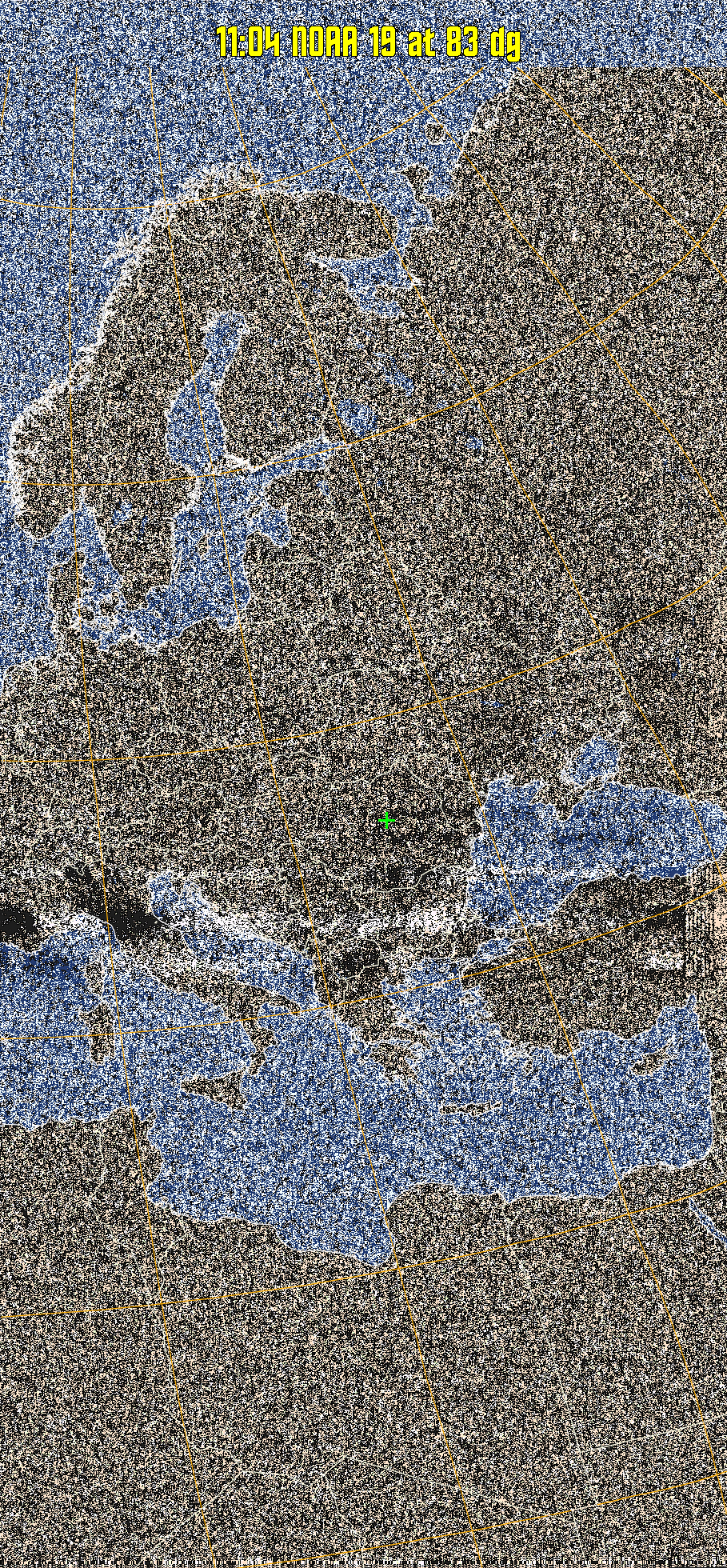
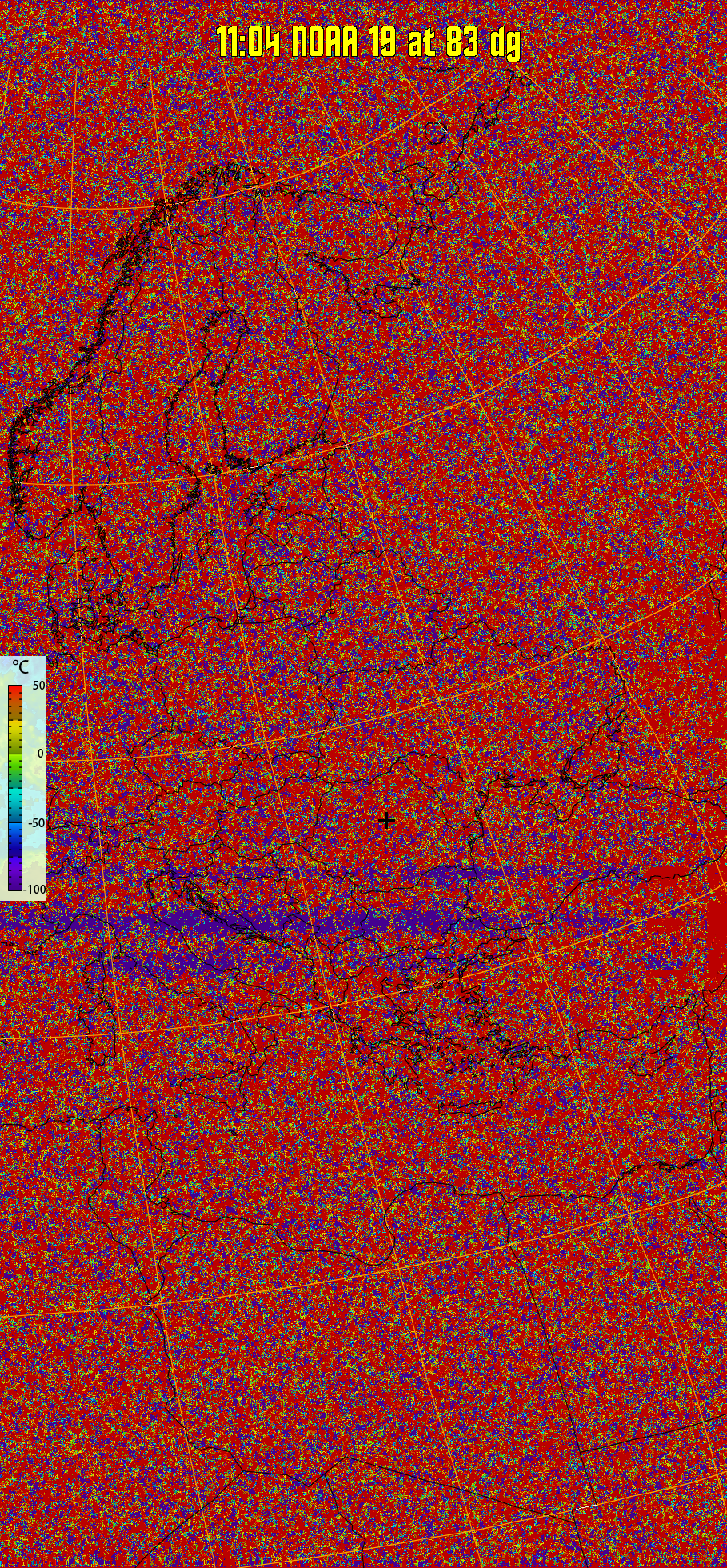
Satellite: NOAA 19 Pass Start: 2024-04-19 08:04:44 UTC Pass Duration: 15:38 Elevation: 83 Azimuth: 287 Direction: southbound Gain: 16.1 rtl_fm Gain: 40

MCIR-precip: 
Colours the NOAA sensor 4 IR image using a map to colour the sea blue and land
green. High clouds appear white, lower clouds gray or land/sea coloured, clouds
generally appear lighter, but distinguishing between land/sea and low cloud may
be difficult. Darker colours indicate warmer regions.
MSA:
Multispectral analysis. Uses a NOAA channel 2-4 image and determines which
regions are most likely to be cloud, land, or sea based on an analysis of the two
images. Produces a vivid false-coloured image as a result.
Note that perfect colouring is difficult to obtain, especially
with low illumination angles.
MSA-precip:
Same as MSA multispectral analysis, but high cold cloud tops are coloured the
same as the NO enhancement to give an approximate indication of the probability
and intensity of precipitation.
HVCT:
Similar to HVC, but with blue water and with colours more indicative of
land temperatures.
HVC:
Creates a false colour image from NOAA APT images based on temperature using
the HVC colour model. Uses the temperature derived from the sensor 4 image to
select the hue and the brightness from the histogram equalised other image to
select the value and chroma. The HVC colour model attempts to ensure that different colours at the same value will appear to the eye to be the same brightness
and the spacing between colours representing each degree will appear to the eye to
be similar. Bright areas are completely unsaturated in this model.
therm:
Produces a false colour image from NOAA APT images based on temperature.
Provides a good way of visualising cloud temperatures.
Pristine output with telemetry data withut cropping. Pristine images are
unenhanced, but normalised to produce images which represent,
as best as the software is able to, the original digital data. No attempt is made to temperature
normalise IR images. Disables gamma, sharpening, rotation, and other enhancements.
×