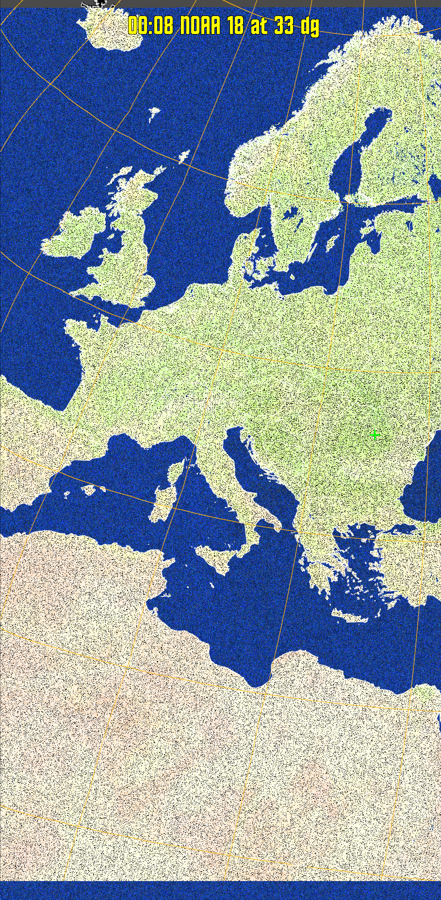
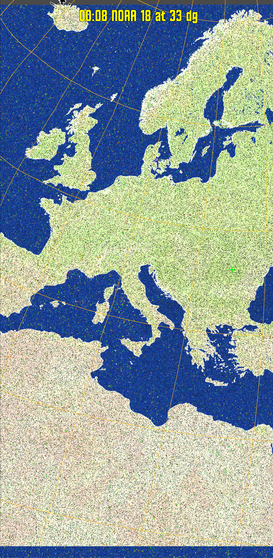
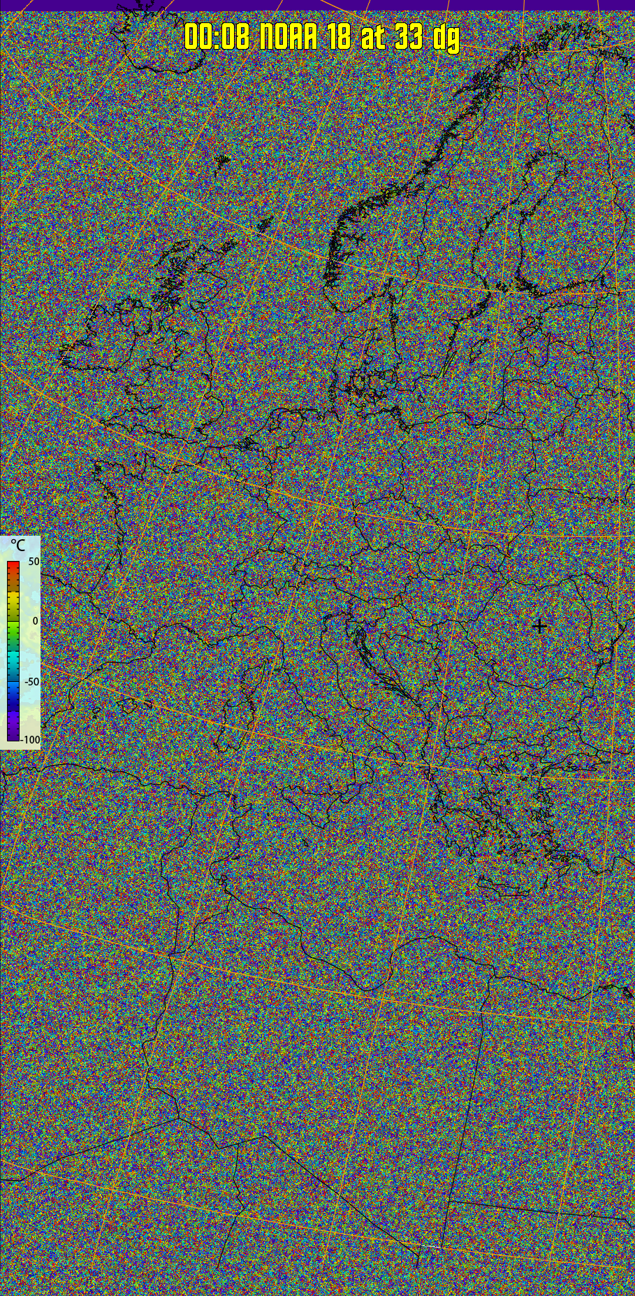
Satellite: NOAA 18 Pass Start: 2024-04-18 21:08:21 UTC Pass Duration: 15:08 Elevation: 33 Azimuth: 264 Direction: northbound Gain: 19.8 rtl_fm Gain: 40

MCIR-precip: 
Colours the NOAA sensor 4 IR image using a map to colour the sea blue and land
green. High clouds appear white, lower clouds gray or land/sea coloured, clouds
generally appear lighter, but distinguishing between land/sea and low cloud may
be difficult. Darker colours indicate warmer regions.
therm:
Produces a false colour image from NOAA APT images based on temperature.
Provides a good way of visualising cloud temperatures.
Pristine output with telemetry data withut cropping. Pristine images are
unenhanced, but normalised to produce images which represent,
as best as the software is able to, the original digital data. No attempt is made to temperature
normalise IR images. Disables gamma, sharpening, rotation, and other enhancements.
×